Curaçao Cruise Port Map: Terminals, Bridges and Distances
Curaçao cruise port map explained: both terminals, the three bridges, the free ferry and walking and driving times from your ship to Punda and the beaches.

Updated November 9, 2026 · 7 min read
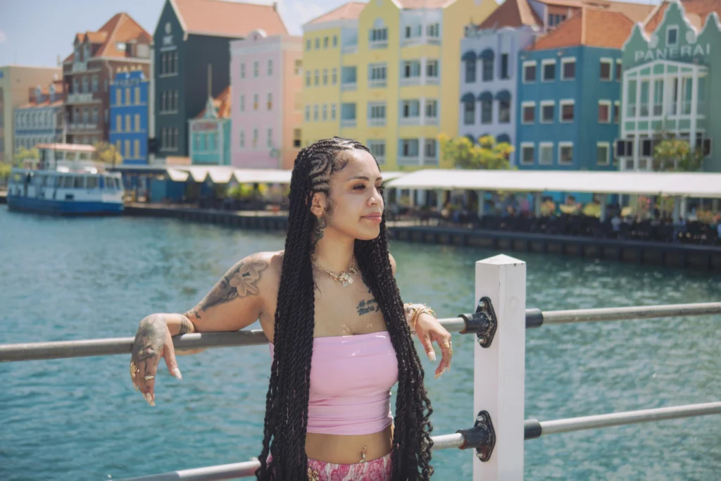
The Curaçao cruise port map is simple once you know the layout: ships dock at the Mega Pier or Mathey Wharf on the Otrobanda side of Willemstad, and the old town of Punda sits directly across St. Anna Bay. From the Mega Pier, the Queen Emma Bridge is about half a mile on foot, and most of what you came to see is within an easy walk of that bridge.
We work around this harbor every week, so here we have turned the map into plain directions: where each terminal sits, how the bridges and the free ferry connect the two sides of town, how long each walk takes, and how far the beaches and caves are if you want to leave the city.
At a glance
- Terminals: Mega Pier, on the open sea at the harbor entrance, and Mathey Wharf, inside St. Anna Bay. Both are on the Otrobanda side.
- Old town: Punda, with the Handelskade waterfront, is directly across the bay.
- Crossing the bay: the Queen Emma Bridge on foot, or the free ferry when the bridge is open for ships.
- Walk to the Queen Emma Bridge from the Mega Pier: about half a mile, roughly 10 minutes at an easy pace.
- Taxis: fares from the cruise port start at $20.
- Paper map: the information stands at the port hand out a free cruise map of Willemstad and the island.
How the Curaçao cruise port map is laid out
Picture St. Anna Bay as a narrow channel running inland from the sea, splitting Willemstad in two. Otrobanda, which means “the other side,” lies to the west. Punda lies to the east. Follow the map from the sea along the waterfront and the main stops come in this order:
- Mega Pier: the main cruise terminal, just outside the harbor entrance.
- Rif Fort and Renaissance Mall: shops and restaurants right beside the terminal.
- Otrobanda waterfront: the promenade with the classic view of the Handelskade houses across the water.
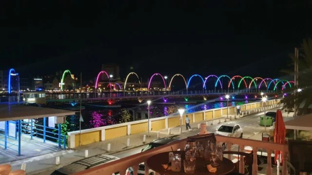
- Queen Emma Bridge: the floating footbridge over St. Anna Bay.
- Punda: Handelskade, Fort Amsterdam and the shopping streets.
- Waaigat and the Queen Wilhelmina Bridge: the small inlet with the floating market, and the bridge toward Scharloo.
- Pietermaai: the restored district of cafes and restaurants east of Punda.
Further inland up the bay you will see the Queen Juliana Bridge high above the water, and Mathey Wharf sits on the Otrobanda shore in that direction. Most of this historic area falls within the UNESCO World Heritage listing for Willemstad, so the walk is a sightseeing tour in itself.
The two cruise terminals
Mega Pier
The Mega Pier has two berths, Tula and Ernest Jackie Voges, and takes the largest ships. It is the better placed of the two terminals for walking: you step off the pier and Rif Fort and the Renaissance Mall are right in front of you. From there the Otrobanda waterfront leads straight to the Queen Emma Bridge.
Mathey Wharf
Mathey Wharf is inside St. Anna Bay, further up the harbor and closer to the Queen Juliana Bridge. Ships heading there sail past the Handelskade, so stay on deck for the arrival. The walk to the center is a little longer than from the Mega Pier, but still comfortably under half an hour. Your cruise line’s daily planner will confirm which terminal you are using, and our Curaçao cruise port guide has more on what each one is like on the day.
Walking times from your ship
These are estimates for an easy pace from the Mega Pier. Allow more time in the midday heat, with children, or when the bridge is open for a passing ship.
| From the Mega Pier to | Distance or time |
|---|---|
| Rif Fort and Renaissance Mall | Right beside the terminal, a few minutes |
| Otrobanda waterfront | Less than 10 minutes |
| Queen Emma Bridge | About half a mile, roughly 10 minutes |
| Handelskade in Punda | Just across the bridge, add a few minutes |
| Fort Amsterdam | Just behind the Handelskade |
| Floating market | A short walk through Punda |
| Pietermaai | A short walk east of Punda |
The three bridges and the free ferry
Queen Emma Bridge
This is the one you will use. Built in 1888, it floats on pontoons and swings aside to let ships through, which earned it the nickname “Swinging Old Lady.” It carries pedestrians only. In August 2026 it was taken out for a major renovation, with its return scheduled for around the end of September, so check its status when you arrive.
The free ferry
When the Queen Emma Bridge swings open, a small harbor ferry carries pedestrians between Otrobanda and Punda at no cost. It is a short crossing, and a fun one, so do not worry if you find the bridge open.
Queen Juliana Bridge
Opened in 1974, this four-lane road bridge stands about 185 feet above the water so that ships can pass underneath. It is the landmark you see from almost everywhere in town, and your taxi may well use it, but it is not part of the walking route.
Queen Wilhelmina Bridge
This smaller bridge dates from 1928 and crosses the Waaigat inlet, linking Punda with the old residential neighborhood of Scharloo. Use it if you want to see Scharloo’s grand merchant houses after Punda.
Driving times beyond the map
Anything outside the city center needs a car, a taxi or a tour. Typical drive times from the cruise port are:
- Mambo Beach area: about 10 minutes east of Willemstad.
- Hato Caves: 15 to 20 minutes.
- Cas Abao Beach: 25 to 35 minutes.
- Grote Knip and Playa Kenepa: 35 to 45 minutes.
- Shete Boka National Park: 35 to 45 minutes.
Traffic can stretch these times, especially on the way back, so build in a generous buffer before all aboard.
Three walks you can trace on the map
- One hour: walk the Otrobanda waterfront, cross to Punda, take your Handelskade photos and walk back.
- Two hours: add Fort Amsterdam, the shopping streets behind the waterfront and the floating market.
- Three hours: continue over the Queen Wilhelmina Bridge to Scharloo, or east to Pietermaai for lunch, before returning through Punda.
Short on cash as well as time? Our list of free things to do from the cruise port follows much of this same route.
Quick tips for using the map
- Check who else is in port. The Curaçao Tourist Board cruise page links to the arrival schedule. Busy days mean more people on the bridge.
- Note your terminal. If you take a taxi back, tell the driver which one, especially when several ships are in.
- Save an offline map. Your phone may lose signal or switch to roaming once you leave the ship.
- Use ship time. Plan everything around the time your ship announces, not the time your phone shows.
Plan a stop on the waterfront
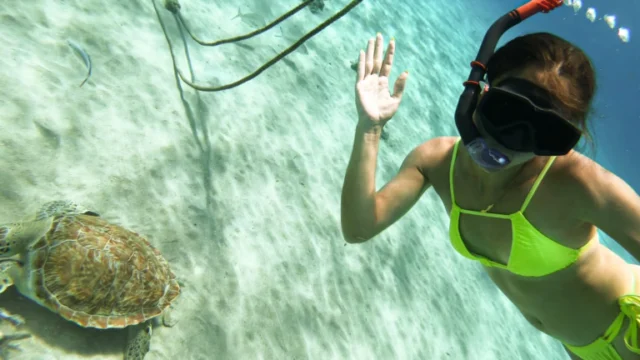
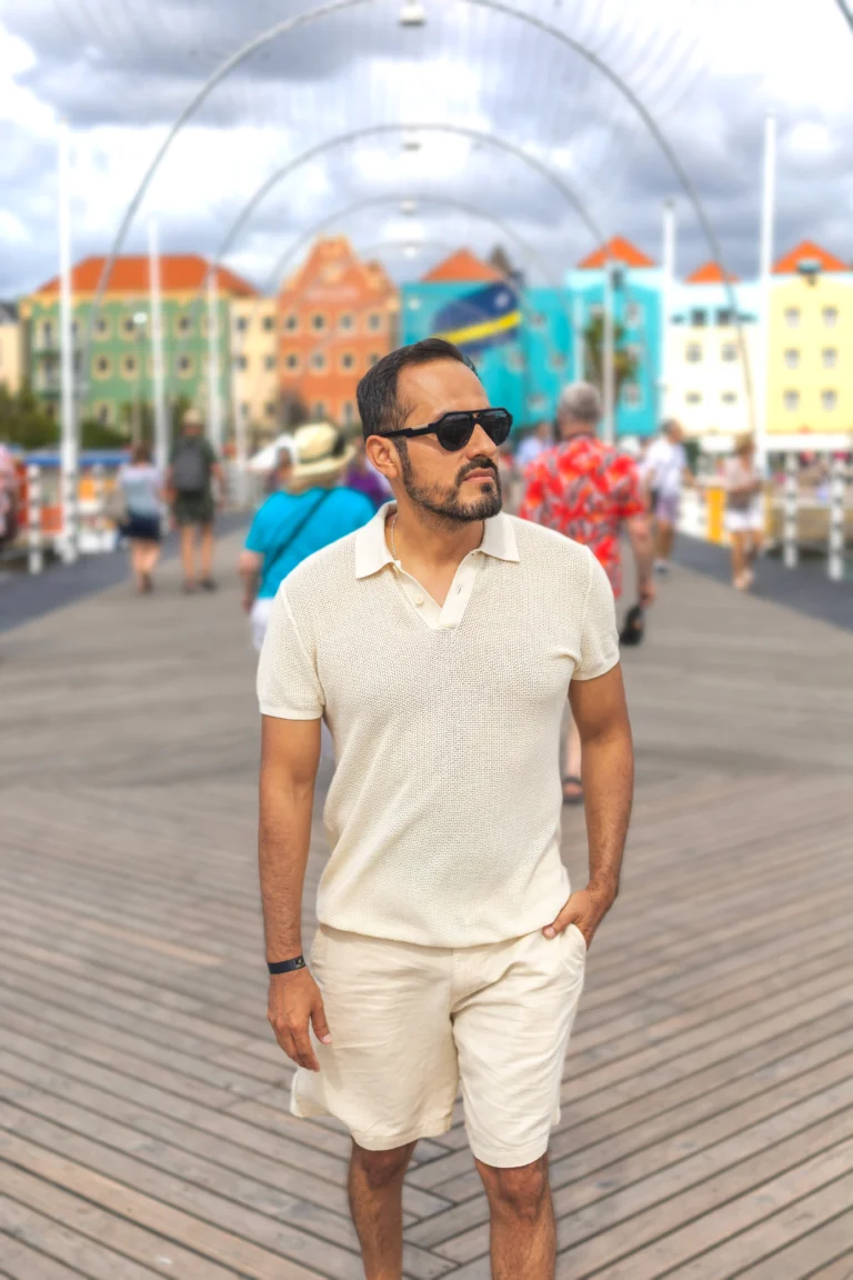
Every route on this map passes the view most visitors want a picture of. If you would like a proper photo of it, our private Willemstad photoshoot starts at the base of the Queen Emma Bridge, takes one hour and is an easy walk from the cruise terminals. To compare it with our turtle tours and other options, see all our Curaçao activities and tours.
FAQ
Is there a free map of the Curaçao cruise port?
Yes. The information stands at the port offer a free cruise map with Willemstad, the island and a self-guided walking tour.
How far is the cruise port from downtown Willemstad?
Not far at all. The port is part of the city. From the Mega Pier it is about half a mile to the Queen Emma Bridge, and Punda is just across it.
Do I need a taxi to get to Punda?
No. Most passengers walk. A taxi only makes sense if you have limited mobility or are heading out of town, and fares from the cruise port start at $20.
What happens if the Queen Emma Bridge is open?
Wait for it to swing back, or take the free ferry across the bay. Either way, allow a little extra time on your way back to the ship.
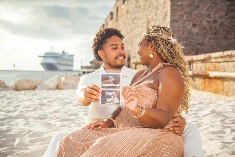
Want professional photos of your time on the island? Take a look at our Curaçao photoshoot options with a local photographer.